


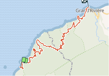


16,9 km | 29 km-effort

Utilisateur


Application GPS de randonnée GRATUITE
 SityTrail
IGN / Instituts géographiques
SityTrail World
Le monde est à vous
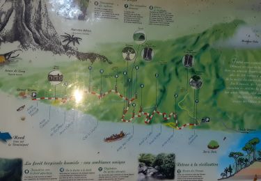
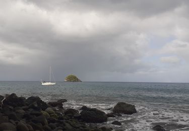
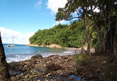
Randonnée Marche de 15,2 km à découvrir à Martinique, Inconnu, Le Prêcheur. Cette randonnée est proposée par tercla.
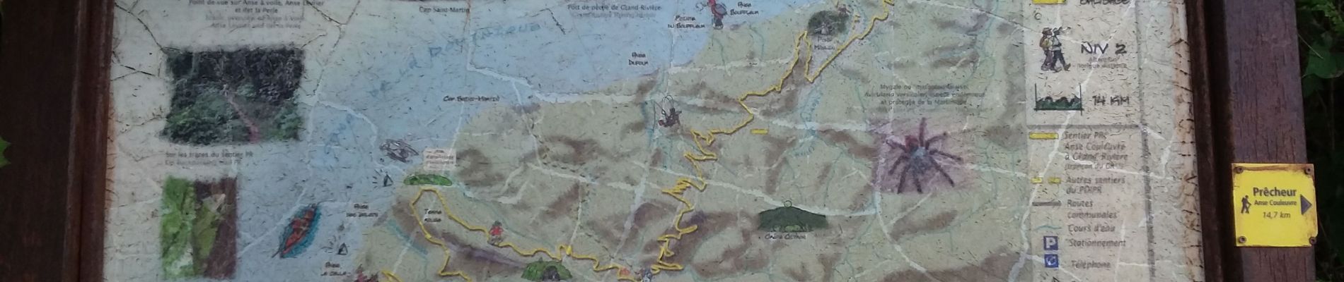
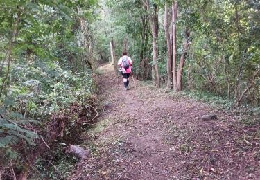
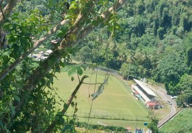
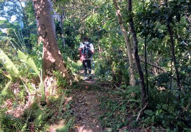
Depart de Grand'rivière en bateau (prendre rendez-vous avec un pécheur) qui nous amène à l'anse couleuvre. Randonnée avec un fort dénivelé cumulé 1700 m.


24 photos au total. Cliquez sur une photo pour les afficher toutes dans la galerie.
Marche
Marche
Marche

Marche
Marche
Marche
Marche
Marche
Marche